Clickable Map of Peru

Peru is South America’s third largest country, and has a population of close to 30 million people, of which approximately 8.8 million live in the capital region – Lima. Columbia and Ecuador are to the north, Brazil and Bolivia to the east, with Chile in the South. To the west of Peru is the Pacific Ocean which stretches along 2,414 km’s (1500 miles) of Peru’s coastline. Peru is a country of vast expanse and has three distinct topographical regions: the coast, mountain and Rainforest. Internally this vast country is split into 24 departments, and since November 2002 regional governments were elected to manage each department.
Above, the Regional Map of Peru is clickable and each corresponding page displays more information about each of Peru’s regions; including general information, important tourist attractions, activities and our Peru Guide importance rating.
- Amazonas
- Ancash
- Apurimac
- Arequipa
- Ayacucho
- Cajamarca
- Cusco
- Huancavelica
- Huánuco
- Ica
- Junín
- La Libertad
- Lambayeque
- Lima
- Loreto
- Madre de Dios
- Moquegua
- Pasco
- Piura
- Puno
- San Martin
- Tacna
- Tumbes
- Ucayali
Peru Travel Tips 2025:
- Cash/Card – Bring some USD to change to soles. Credit Cards accepted everywhere. ATM withdrawals have high fees.
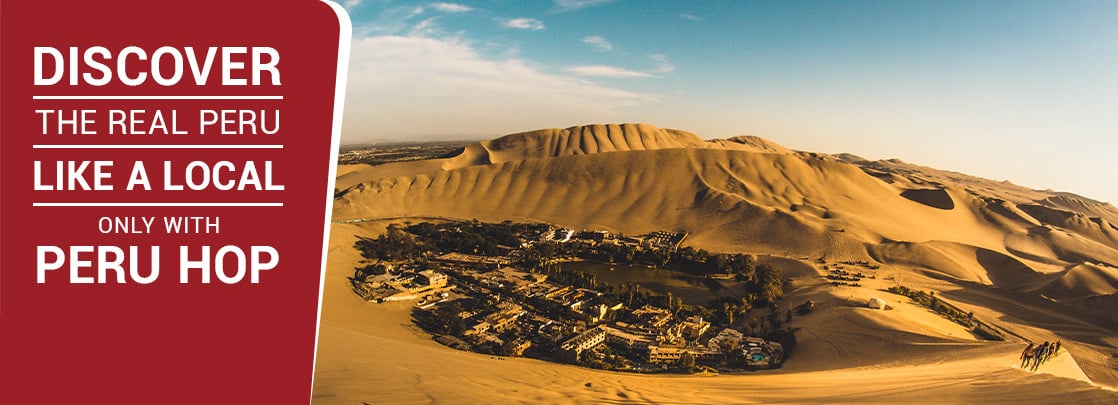
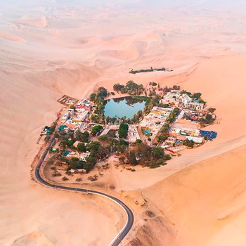
- Rainbow Mountain, Huacachina Oasis and Secret Slave Tunnels in Chincha are Peru’s fastest growing tourist attractions in 2025!
- Internal Flights – use LATAM Airlines, most reliable company by far
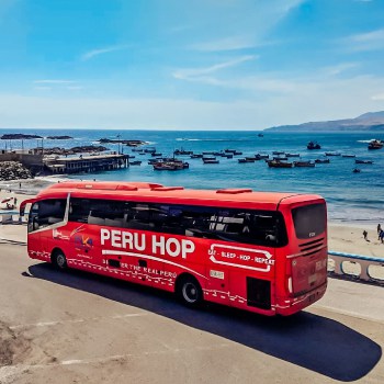
- Bus Travel/Day Tours – use PERU HOP, #1 bus/travel company in Peru. More info here.
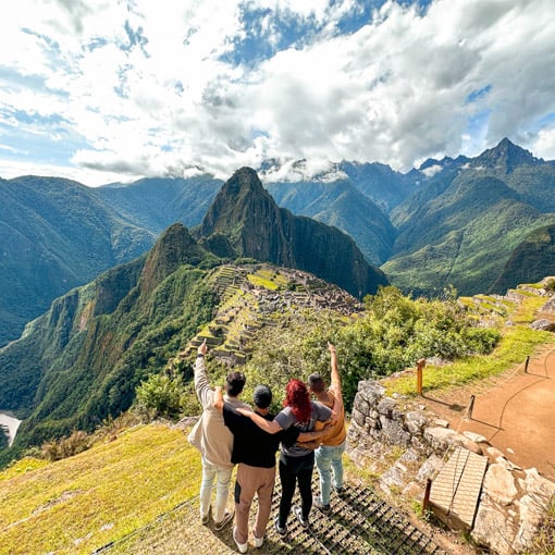
- Machu Picchu – Book in Advance! YAPA EXPLORERS excellent tour/trek operator. More info here.
- Top 1 day Tours – Day Tour to Paracas and Huacachina from Lima here or Route of the Sun Inca Ruins VIP tour with Inka Express here
Experience Some Peruvian Culture
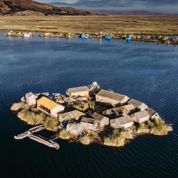
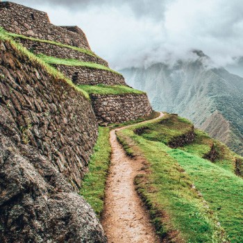
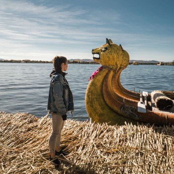
The coastal region is the most explored by tourists with the well known ‘gringo trail’ being from Lima to Cusco. However, this is still relatively unexplored compared to the overwhelmingly high figures that visit Machu Picchu every year. Some of the beautiful destinations travellers have taken a particular interest in visiting have been; the Paracas national reserve where the desert meets the sea, the gargantuan Colca Canyon (bigger than the Grand Canyon) near the white City of Arequipa or the highest lake in the world, Lake Titicaca. If you think you might be interested in seeing some of these culturally captivating destinations along the coast of Peru, we recommend following Peru Hop‘s full south route from Lima to Cusco. For continuing travel in Ecuador, check out Ecuador Hop.